West Lathrop Specific Plan

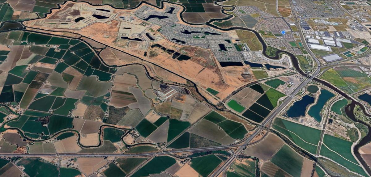
The 2002 West Lathrop Specific Plan area is located in California's Central Valley, in the inland reaches of the San Joaquin River, or "South Delta". Here, on flat land which is crisscrossed by rural roads and drainage channels, a pattern of hot, dry summers and cool, moist winters is moderated by coastal marine influences.
The plan area is surrounded by leveed existing delta waterways from which expansive long range views are possible. The plan area is readily accessible by regional freeways, rail lines, airports and navigable waterways. Next to the plan area are 1-5 interchanges with 1-205 and State Route 120. The (former) Southern Pacific and Union Pacific rail lines pass through the site. Presently used for agriculture, the plan area is well situated to play an important role in the economic and cultural growth of the region.
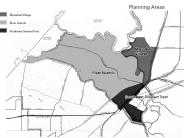
The 2002 West Lathrop Specific Plan area forms the western part of the City of Lathrop. It will be developed as two distinct but closely related areas. Next to 1-5 is Mossdale Village, a 1,161-acre proposed residential development with an associated village center, service commercial and highway commercial. Mossdale Village is targeted for more traditional housing for Lathrop residents. Adjoining Mossdale Village is Stewart Tract, a 5,794-acre site proposed as a balanced, mixed use sustainable community comprised of residential and commercial development. Stewart Tract will have two distinct components: River Islands at Lathrop, the 4,880 acres west of the former Southern Pacific Railroad tracks that has been comprehensively planned and Southeast Stewart Tract, the 913 acres east of those railroad tracks designated for existing housing, recreation commercial and primarily urban reserve. These two Stewart Tract development areas, together with Mossdale Village, are addressed together in this plan to ensure a compatible pattern of development throughout West Lathrop.
The following documents are available in PDF format by clicking on the titles below.
Environmental Impact Report (EIR) Documents

