Central Lathrop Specific Plan Main Page

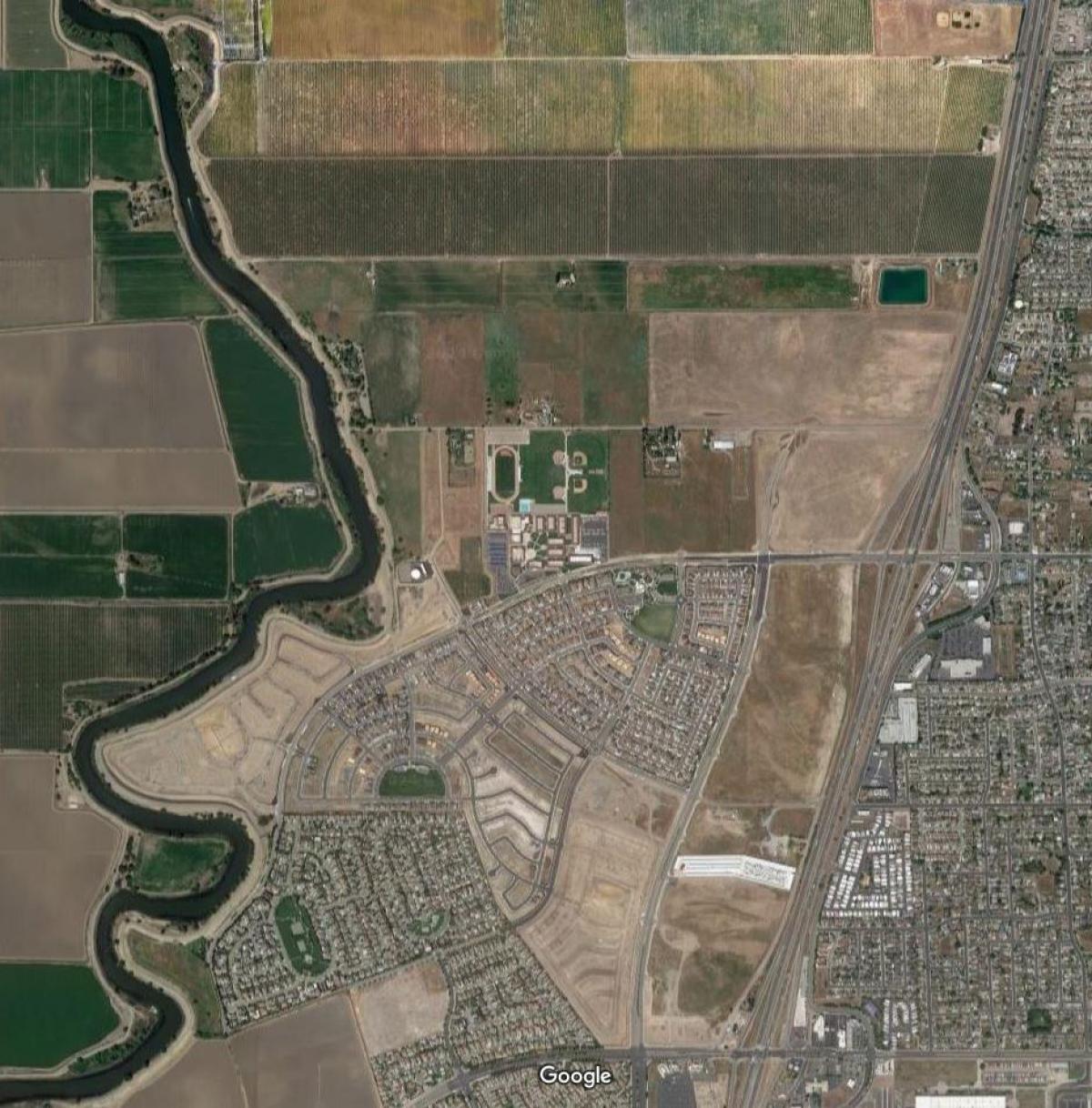
The City of Lathrop adopted the Central Lathrop Specific Plan (CLSP) on November 9, 2004. The 2004 CLSP provided for the development of approximately 1,521 acres located south of the northern city limit line, west of Interstate-5, north of the Mossdale Village planning area, and east of the San Joaquin River.
The CLSP Plan Area consist of two primary development phases.
Central Lathrop Specific Plan Phase 1 Project
Central Lathrop Specific Plan Phase 2 Project
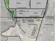
Phase 1 of the CLSP covers approximately 797 acres in the southern portion (Phase 1 Plan Area), and Phase 2 applies to the 724-acre northern portion (Phase 2 Plan Area). Dos Reis Road serves as the dividing line between the two phases.
The City of Lathrop General Plan, in effect when the 2004 CLSP was adopted, provided for the development of a residential mixed use community in both Phases 1 and 2. The City of Lathrop recently adopted an update to the Lathrop General Plan on September 19, 2022. The 2022 Lathrop General Plan changed the prior General Plan residential, parks, schools, and commercial land use designations in the CLSP Phase 2 Plan Area to Limited Industrial, while maintaining the Open Space and Linear Park designation along the Mossdale Tract levee. The 2022 General Plan Update did not change the adopted land use designations in Phase 1 Area which allowed the development of residential neighborhoods, commercial areas, and public facilities including a high school, a community center and parks.


